What is Copernicus, and how Europe's free satellite service tracks wildfires
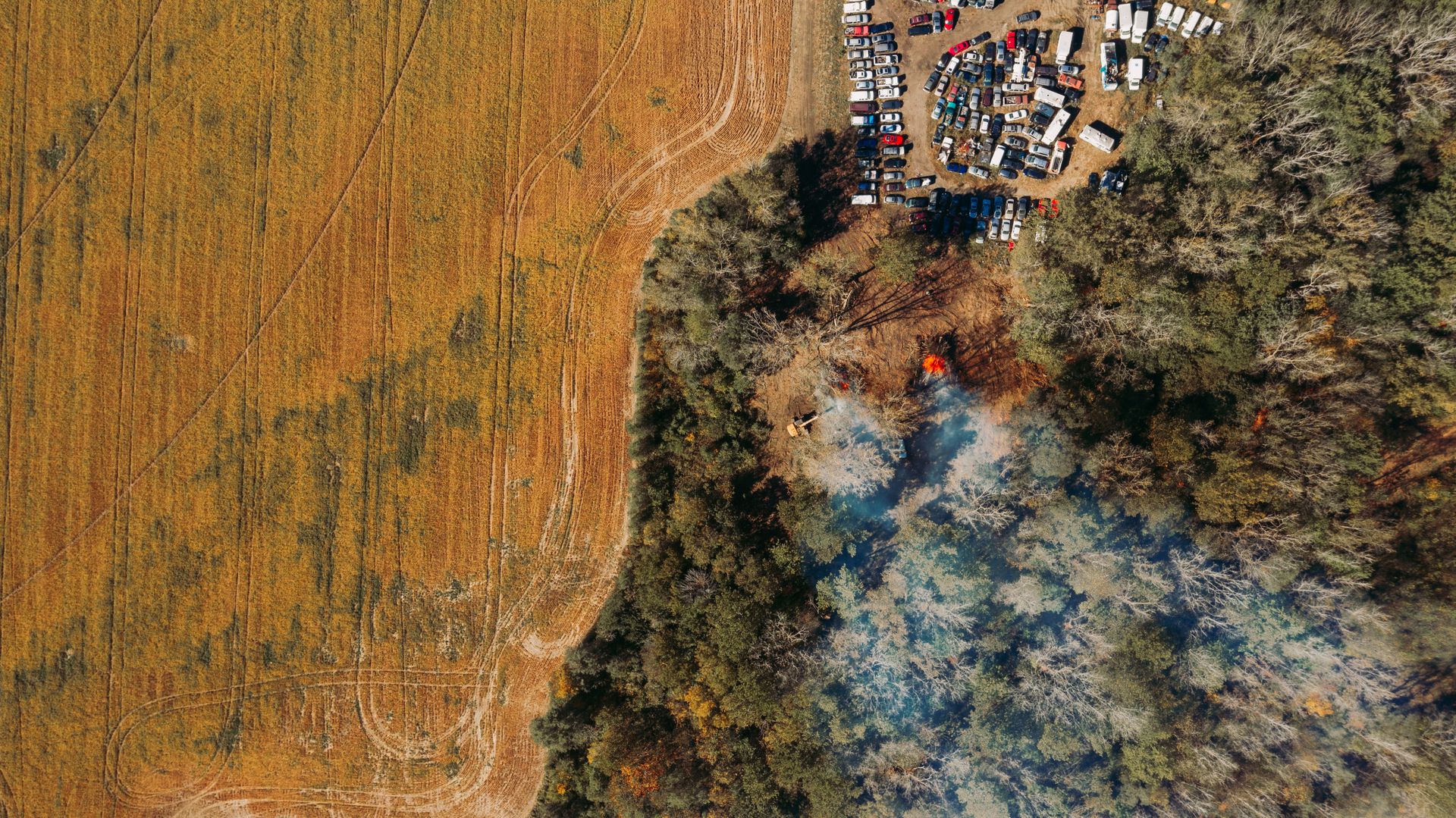
The European Union's free Earth observation program, Copernicus, has added a new wildfire visualization layer to its browser-based tool. The addition arrives in the middle of a record-breaking wildfire season across much of Europe.
Copernicus, named after the 16th-century astronomer Nicolaus Copernicus, is a large-scale Earth observation program run jointly by the European Space Agency and the European Commission. Through a series of satellites called Sentinel, the program continuously scans the Earth's surface and makes that data freely available to anyone.
The new feature has been integrated into a web-based tool called Copernicus Browser. Users can now see the location of active fires, their direction of spread, and the size of the affected area directly in their browser, without needing complex remote-sensing software.
The data comes from thermal and optical sensors aboard the Sentinel satellites. These sensors can detect the heat given off by fires and the spread of smoke, making it possible to track wildfires even in areas ground stations or aircraft can't easily reach.
The tool's accessibility significantly widens its potential use. Access to this kind of satellite data previously required specialized software and technical expertise; now, firefighting teams, local authorities, journalists, and even curious members of the public can reach the same information directly through a web browser.
The timing of the addition isn't a coincidence. Europe has experienced increasingly hot, dry summers in recent years, driving up both the frequency and severity of wildfires. Mediterranean countries in particular have been among the hardest hit by this trend.
Satellite-based fire tracking offers clear advantages over ground-based observation methods. Satellites can detect fires in mountainous or otherwise hard-to-reach areas and scan large regions at once, revealing a fire's broader spread pattern.
Another benefit of this kind of open data tool is transparency. Making wildfire data public supports not just emergency management, but also researchers and journalists tracking how climate change is affecting fire seasons over time.
Experts expect tools like this to keep improving. AI-assisted early-warning systems, for instance, are being developed to analyze satellite data and flag fires at their earliest stages.
For now, Copernicus Browser's new feature means that, during a difficult fire season for Europe, anyone — expert or not — can see where and how wildfires are spreading with a single click.
Read next

Why Microsoft Edge is about to lock out older ad blockers
Microsoft Edge is ending support for the Manifest V2 extensions platform, the same move Google Chrome made earlier this year, which will disable the uBlock Origin ad blocker and others like it. The impact on most users will be limited, but the shift is part of a broader transformation of the browser extension ecosystem.

Why OpenAI slowed development of its Astra model over security concerns
OpenAI says its still-in-development Astra model reached a "critical cybersecurity threshold," meaning it could independently identify and carry out cyberattacks against well-protected real-world systems. The company says it deliberately slowed the model's development as a result.

Half a million black holes: how astronomers built one of the largest sky maps ever made
An astronomy consortium has released a massive all-sky map cataloging more than half a million supermassive black holes. The project gives scientists studying the distribution of these mysterious objects at the centers of distant galaxies a vast new dataset to work with.

Voyager 2: how NASA keeps its 48-year-old probe running for one more year
Voyager 2, the spacecraft launched in 1977, will keep transmitting data for at least another year thanks to NASA power-saving measures. It's the latest step in extending the life of one of the only missions still sending signals back from the outer reaches of the solar system.

AI music watermarks: how Suno plans to label songs made by algorithms
According to Ars Technica, AI music platform Suno plans to add watermarks to the songs it generates and impose download limits. The company says the move is intended to curb 'large-scale abuse' of its platform.