The Pamir Highway's No Man's Land: the world's longest stretch of unguarded border crossing
The Pamir Highway is one of the world's most rigorously demanding asphalt roads, running across Central Asia's Pamir Mountains. One of its most unusual sections is the roughly 22-kilometre stretch of No Man's Land between Tajikistan and Kyrgyzstan. There is no formal border checkpoint along that distance, and no regular road maintenance.
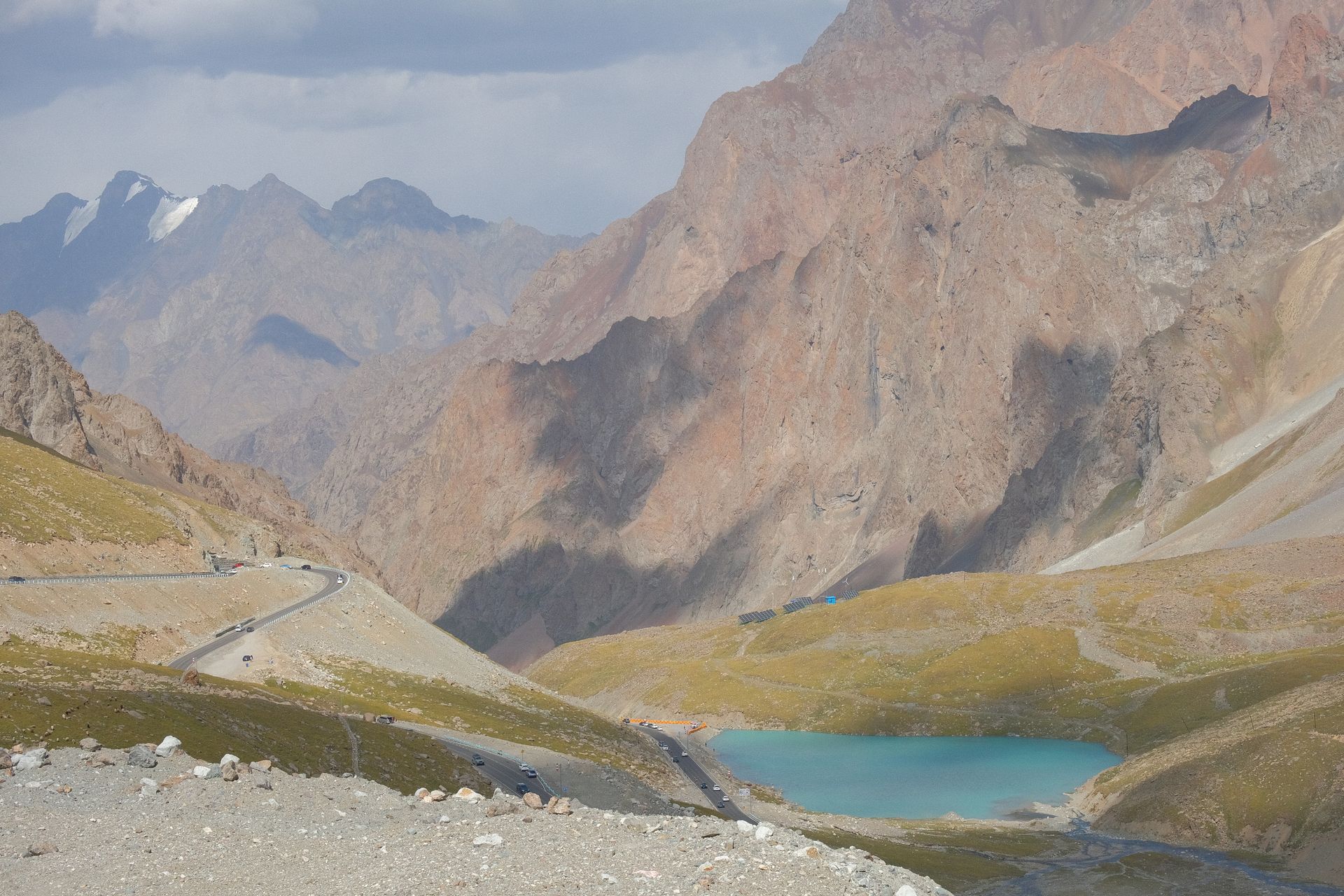
This stretch is open only some months of the year. The crossing climbs two passes — one at 4,280 metres and another at 4,655 metres above sea level. The altitude drops oxygen levels, and drivers crossing the section commonly report headaches, nausea and shortness of breath. Local drivers run their vehicles at the lowest practical gear and lowest practical speed.
What makes the crossing most unusual is that there is, in practice, no official inspection point between the two countries. From the last village in Tajikistan to the first village in Kyrgyzstan, the 22 kilometres include no border house, no waiting gendarmerie, no document check. Drivers often realise they have crossed an international border only hours later.
The section formally begins in Tajikistan's Gorno-Badakhshan Autonomous Region; under bilateral agreements between the two countries, the midpoint of the unmaintained stretch is treated as the de facto boundary. In practice, that "treatment" has settled into a diplomatic ambiguity, with neither government in a hurry to formalise the crossing.
The infrastructure of the crossing dates to the twentieth-century Soviet investment that shaped much of the Pamir Highway. The route was widened from the 1930s onwards for military purposes. After independence, neither Tajikistan nor Kyrgyzstan committed shared funds to maintain this exact stretch, and it has become one of the most weather-worn sections of the Pamirs.
The crossing is most frequently used by local traders, drovers and an increasing number of tourists. Motorised caravans carrying fur, sheep stock and Chinese consumer goods favour this route in the open months. Tourists in this group include motorcyclists and mountain cyclists drawn by the chance to attempt one of the world's most difficult overland routes.
Weather can shut the crossing for days at a time. Late spring snow or early autumn storms can leave travellers stranded. Local reporting indicates that in recent years, the International Red Cross and UNHCR have on more than one occasion delivered supplies to travellers caught by storms on the pass.
In terms of road surface, the 22-kilometre stretch features thick gravel, rain-cut erosion holes and a chronic risk of landslides. In some sections, local drivers move off the formal track and travel a path between rocks that has been worn into a usable line. Vehicles other than SUVs and four-wheel drives effectively cannot make the crossing.
The surrounding landscape includes some of the highest summits of the Pamirs. Pik Lenin and Pik Korjenevskaya, both above 7,000 metres, are visible on the northern horizon. When weather permits, the setting sun reflects off the high peaks and gives the driver of the section a pink-and-red snow panorama unique to high Central Asia.
The crossing's future is being discussed along three axes: integration with China's Belt and Road Initiative, formalisation of the border agreement between Tajikistan and Kyrgyzstan, and the effect of climate change on high-altitude mountain roads. For now, the 22-kilometre No Man's Land remains a crossing where administrative simplicity has been left, by default, to the physical geography.